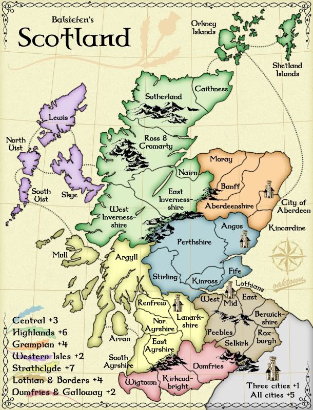
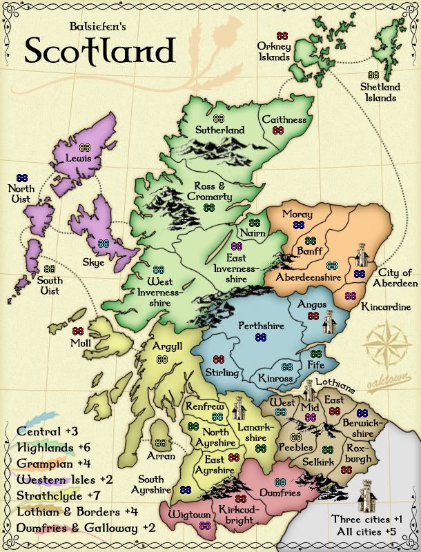
Is there anyway that you could move the XML numbers for territories like the Shetland and Orkney islands onto the islands and not on beneath the names? That way they'd all look like Arran.
All number placement is still on the table (note that Coleman's latest comment was that he was very pleased with the number placement!). My preference would, of course, be to put both the name and the number in the territory itself; barring that I am happy to put the number in the territory provided 1) the number fits without touching borders, and 2) it is clear which territory title it goes with.
Other than that, I really like the look and feel of this map. Maybe you could even tone the colors down a bit so it'd look kinda like the Ireland map.
I also like the look of Ireland, but as a color blind player I found it difficult to distinguish territories and quickly put in on my 'do not play' list. If the consensus is to further lighten the map I will work on finding a happy medium.
So... thoughts on color?