2nd update
2nd revision

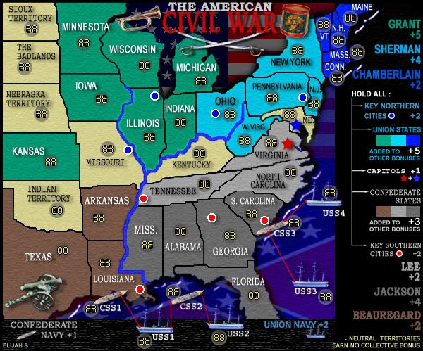
Notable changes:
-The pixelation issue has been dealt with by making the borders smaller and reducing diagonals.
-The Nuetral states color is different. This served to have only one green group and provided a better background for the Nuetral font (which is no longer bold and easier to read)
-The state names are now spelled out instead of abbreviated, except a few small eastern states, where space was not adequate.
-Attack lines have been drawn for the ships and across the rivers.
-Bonus values have been adjusted.
-The army circles are darker.
-The image size was brought up to 600px wide and 499px high.
-A sandstone texture was added to the states.
-Memphis replaced Nashville as one of the South's key cities.
-Army Numbers have been added.
-Crossing swords have been placed under the title.
-The Legend has been realligned.
Thanks for the support Cairnswk, it would be great to see more of that in this forum.
In answering your question- The decisive battle of the war was probably Gettysburg, and I could see no way to implement that into gameplay; However, Historians widely believe that it was the Union blockade, leaving the South without means to export its agriculture, which was, in the long term, the reason the Confederacy lost. -I think this has been effectively put into gameplay.
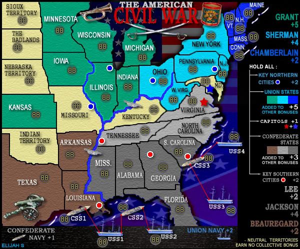
cairnswk wrote:Elijah S...i'd like to see you continue this...and thanks for that first update. I think there will be good support for this.
Your map is only 579 px wide at present...so think about maybe extending it to 600px to give yourself some room for a really good legend, which btw is coming together very nicely.
Forgive my ignorance of your Civil War history ( i am an aussie afterall), in which state was the deciding battle? Perhaps this could be made into a gameplay feature (only a suggestion).
Can you improve slightly the colour of the green army tert shadows, they are very lighton?
I'd look forward to next updates.
Keep up the good work...your colleagues will guide you well, but keep your style and flavour for the map in mind also.