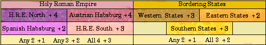
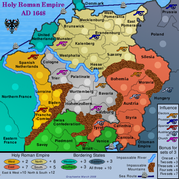
grayhawke wrote:I'm now thinking of having a map of 42 territories in 8 continents with extra cross-continent bonus for:
Spanish Habsburg (+Milan)
Austrian Habsburg (+Hungary)
Bradenburg-Prussia (+Pomerania+Ansbach)
Electors (Bohemia-Saxony-Bavaria-Brandenburg)
as well as the existing complete/partial HRE and Border bonuses.
Or am I now over-complicating?
this concept is excellent. 42 territories (maybe including catholic church lands such as salzburg and cologne) will give a lot more scope to put in gameplay features, like the ones u mention, that are characteristic of the hre. the only way to see if it's too complicated is to try drawing it, then remove features that are difficult to do well.
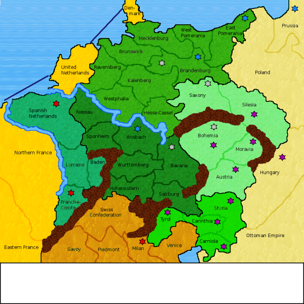
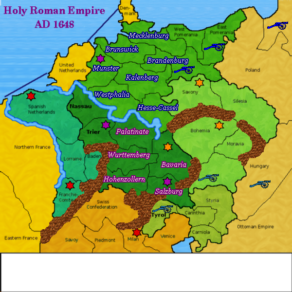
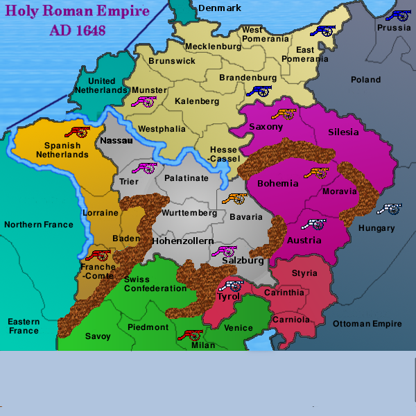
if u're going to overhaul the map completely instead of doing small changes to v14, then perhaps it's advisable to do each revision on a small 600 x 600 map, then make a large version only after u're in the main foundry. this is to avoid such problems as names or army counts obscuring borders when u downsize from a large map to a small one.
ian.