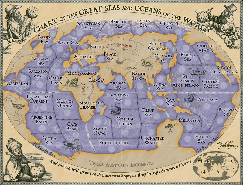
ZeakCytho wrote:Actually, I have one more nitpick. In the 16th century, the coast of Europe was pretty well documented in maps. Could you change the shape of the coasts of western Europe to be a bit more accurate?
I'm aware that the one area that should be represented most accurately - Europe - has as many if not more inaccuracies as any other region. However, many of the liberties I've taken with the European coastline (Italy is cocked too far south, the Adriatic is way too big, Denmark is cut off, the Bosporus is out of proportion, Spain is too far from Africa, etc.) came about as a result of gameplay necessities. Openings to the many seas around Europe had to be widened significantly to allow visible borders, and seas were increased in size to fit army counts.
When this map started out Europe was pretty accurately portrayed, but gameplay needs have trumped history/geography in many respects.