oaktown wrote:
High Seas Redux, reduxed.
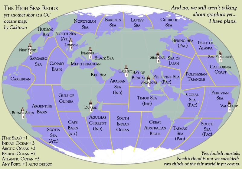
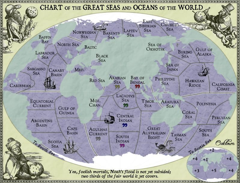
Play: The map now stands at 32 starting territories, plus 10 neutral-starting Seaports. The 32 starting terits will each be a part of bonus region, and the ports will not but will earn you a +1 auto-deploy per turn.
The bonus regions look like this, with my initial thought for bonuses:
Atlantic: 9 terits, 4 borders, access to 3 ports. +5
Arctic: 4 terits, 2 borders, access to 1 port. +2
"The Seas" (this will need a better name): 3 terits, 2 borders, access to 1 port. +1
Indian: 6 terits, 4 borders, access to 2 ports. +3
Pacific: 10 terits, 4 borders, acess to 3 ports. +5
Yes, the bonuses look low. But consider the bonus structure if you also hold the ports:
Atlantic w. ports: 12 terits, 4 borders. +8
Arctic w. ports: 3 terits, 2 borders. +3
"The Seas" w. ports (this will need a better name): 4 terits, 2 borders. +3
Indian w. ports: 7 terits, 4 borders. +4
Pacific w. ports: 13 terits, 4 borders. +8
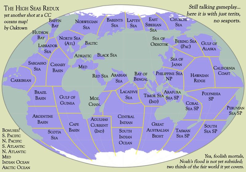
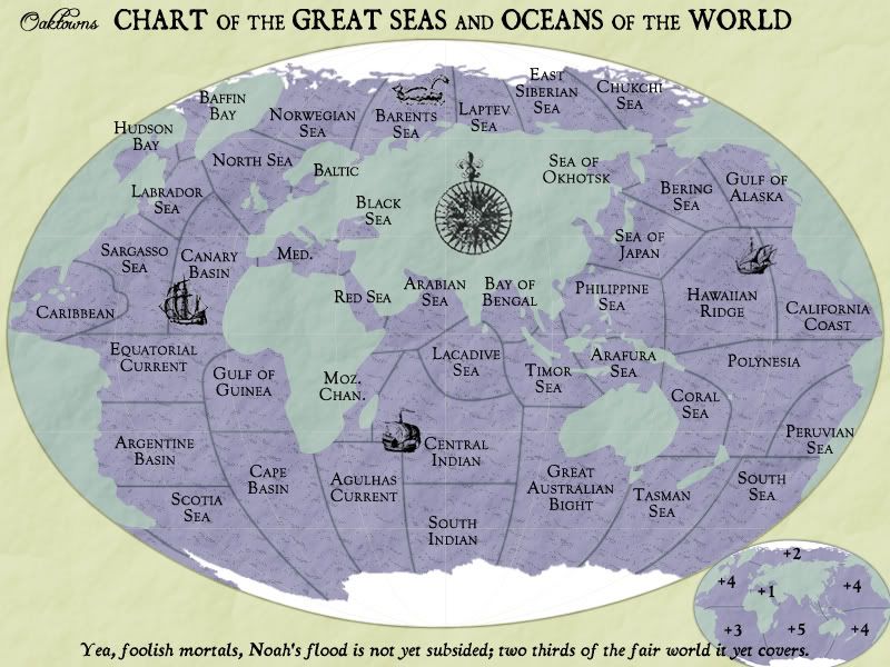
Graphics: still in the works. I'm leaning toward a Victorian, 19th century, Moby Dick feel.
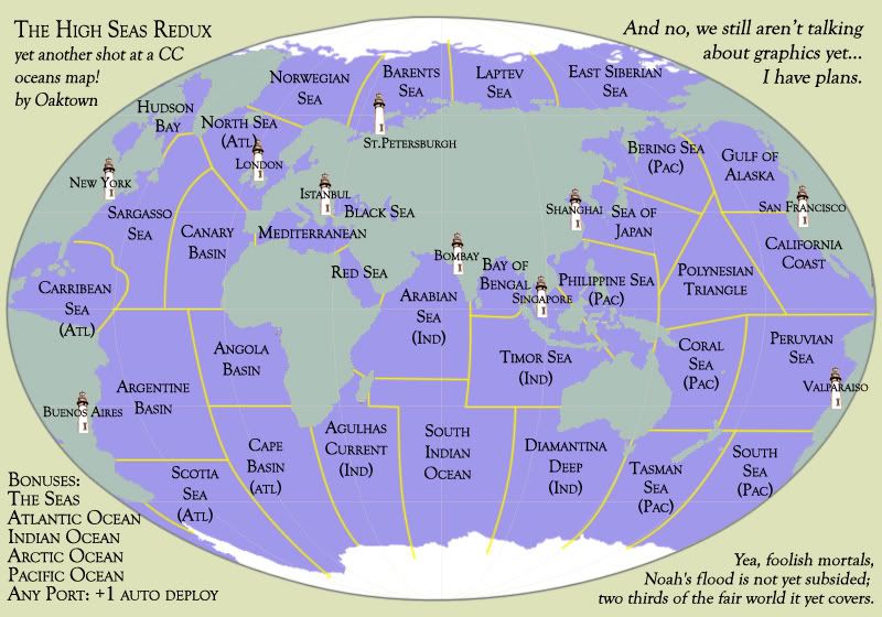
Oaktown, The bering sea is not part of the pacific.