Re: FRANCE 18th century [I,Gp] v15
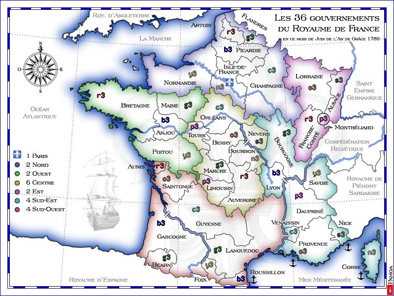
Again I'm not going to make river disappear just when I don't need it as border.
At that point I see 3 possibilities:
At that point I see 3 possibilities:
- fading rivers so the double border line is more proeminent
putting a lot more bridges and making river all impassable
removing rivers as impassable and making them mere decoration


