AndyDufresne wrote:I'm really digging the style of this map...I think you've captured Egypt splendidly!
Gees. thanks Andy.

I looked at the development atlas before Unit_2 got his hands on it, and saw those Egyptian maps and thought it was about time something was done on that front.
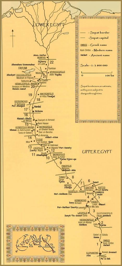
After seeing the program recently on the Kush region of Egypt and the gold mines there, I am hoping that i can turn this into a trilogy....lower, middle and upper Egypt.
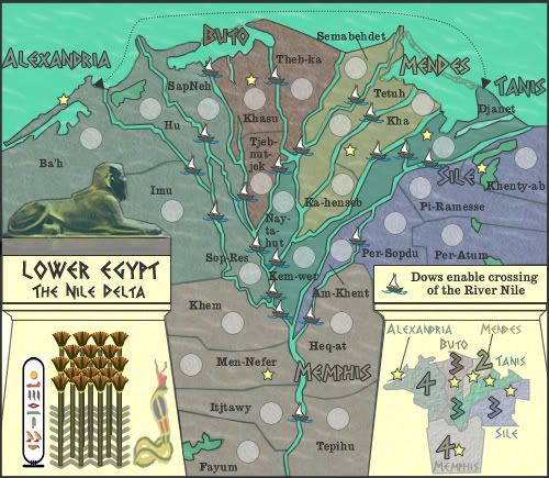
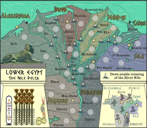
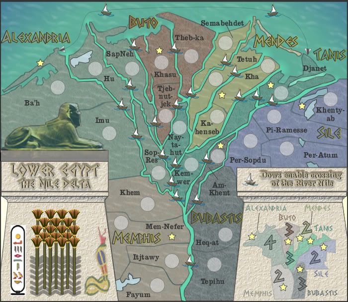
The Dows are overwhelming at first, but if you study the map I think you can get a handle on what connects to what.
I had to use them to give timeliness to the map....they only had dows for crossing rivers. I will see of o can tart them up later.
A few graphic points:
Might want to nudge the Khenty-ab army shadow left in Sile, just to be sure the coordinates don't go off the edge of the map. It looks like there is ample room.
Also in Sile, how about moving the name below Khenty-ab in that rather open space, as in it's current spot it is somewhat crammed and jammed.
Regarding the continent title names, perhaps use a slightly darker tone for the fill color, just so Sile and Memphis stand out a little more (the others rest on water so no problem for them, but could add it to them for uniformity).
Done....next version.
Some game play:
I'd like to see another 2 Bonus continent...what if you made Buto into one? You could move the Dow at The b-ka - Tetuh to... Nay-tahut - Tetuh.
That would remove a border from Buto, and it would still keep the general movement in that area.
This may be problematic, because you'd have two 2 Bonus continents next to each other, but they are not connected to each other (Nay-tahut is like a bridge between them).
Anyways, just a thought!
--Andy
I'll have to think on this one....and try to get another 2 bonus point continent in there somehow. I'd be more likely to split those two 4 up a bit to create another one in there somehow....but i'll see.