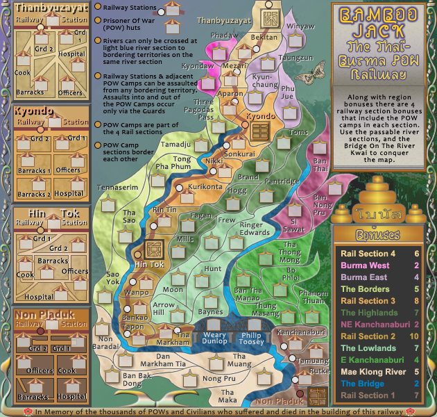
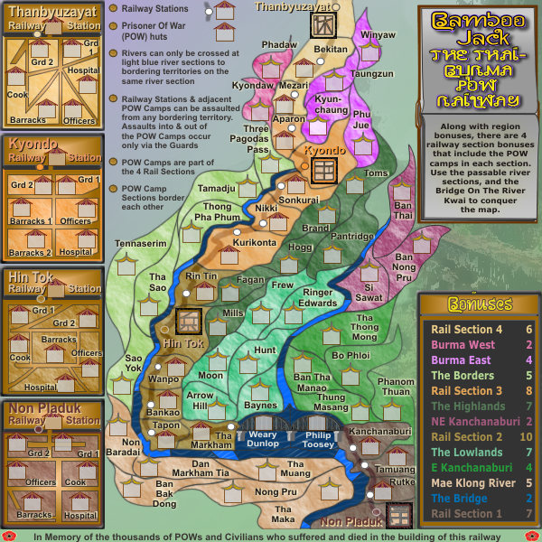
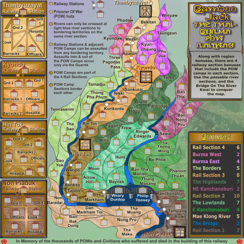
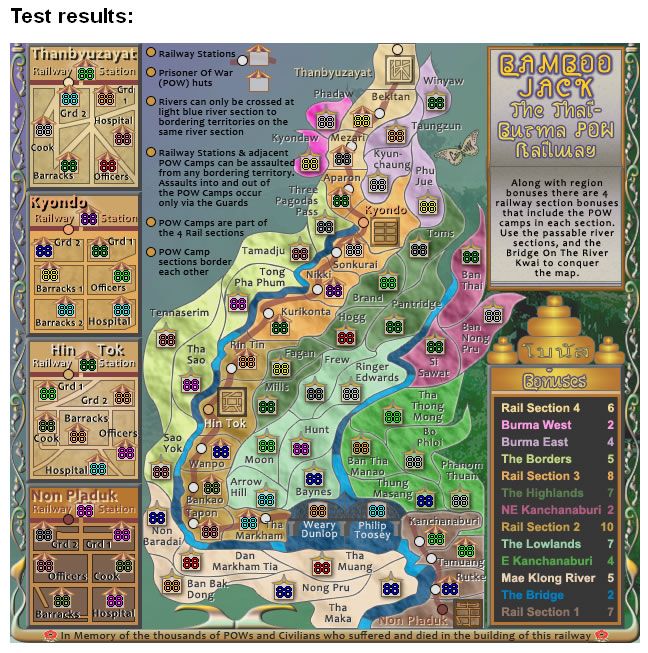
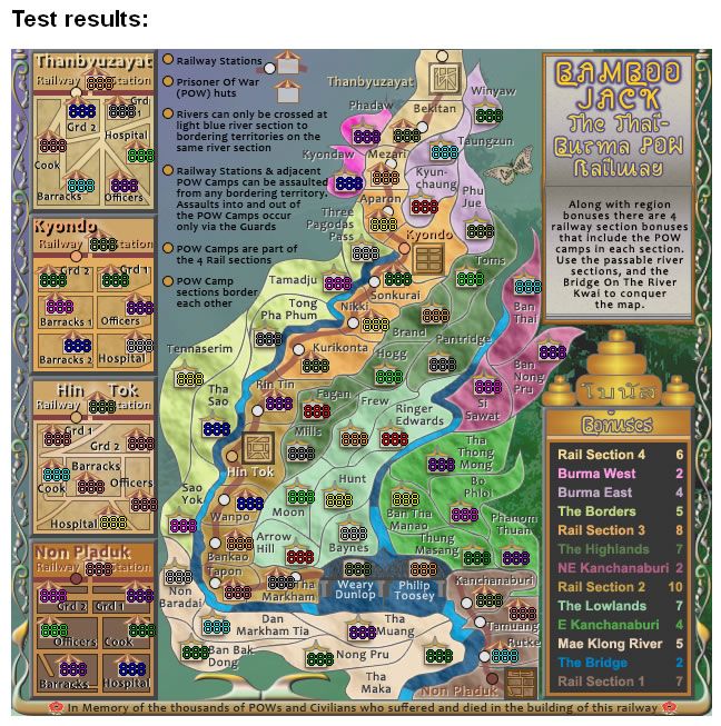
Moderator: Cartographers
cairnswk wrote:strange how we're all human mistake makers
drunkmonkey wrote:Just noticed the map has a territory labeled "Tennaderim", but the XML says "Tennaserim". Not a huge deal, but it made me do a double-take when selecting from the drop-down.
cairnswk wrote:drunkmonkey wrote:Just noticed the map has a territory labeled "Tennaderim", but the XML says "Tennaserim". Not a huge deal, but it made me do a double-take when selecting from the drop-down.
Gees, i stuffed up again.
i'll fix asap. Thanks drunkmonkey.
ManBungalow wrote:Wow, nice.
A couple of points of feedback then, as you ask:
The new texture on the regions is just slightly too intense.
The pale blue passable part of the river doesn't totally obviously touch Hunt.
The same river ends very abruptly. Put a line there?
I don't see a cairnswk logo on there.
ManBungalow wrote:Your new image has disappeared now.
From what I remember, the texture rendered with higher contrast and the terrain looked really bumpy in the updated version?
And yes, the river ending between Ban Thai and Pantridge. Just a black line there will keep me quiet.
EricPhail wrote:New legend has typos
Assaults inot and out ot the ....
Should be:
Assaults into and out of the ....
Surely
The Voice wrote:That looks incredible! The only thing I noticed was that it is a little hard for me to read the bridge territories "Weary Dunlop" and "Philip Toosey," but other than that, it's a remarkable facelift! Well done.
Gilligan wrote:This looks fantastic cairns. I am curious, though, what does it say above "Bonuses"?
greenoaks wrote:revamps are not allowed without informing me. geez.
cairnswk wrote:greenoaks wrote:revamps are not allowed without informing me. geez.
Users browsing this forum: No registered users