Re: Route 66: tweaks on pg 11 (GP)
Looking good - I think the perspective is just a matter of personal preference, as you say 
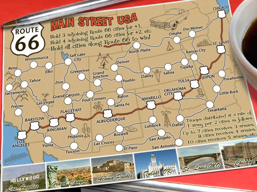
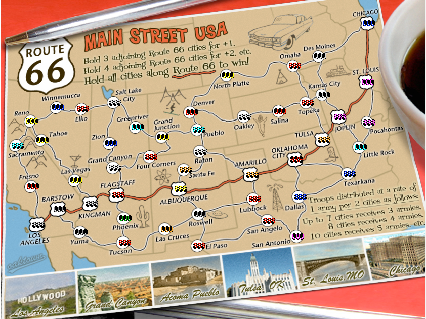
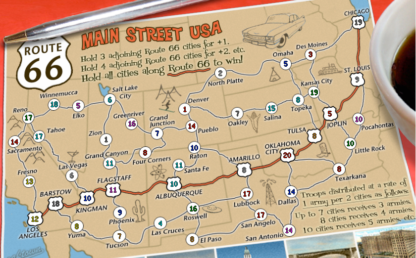
Sully made a good suggestion about the bonus-instruction text, but I can't really find fault with anything...
The only thing I'd mention, is whether you've given any thought to having the small version without the pen/cup/perspective, or whether that would confuse people too much when switching between maps??
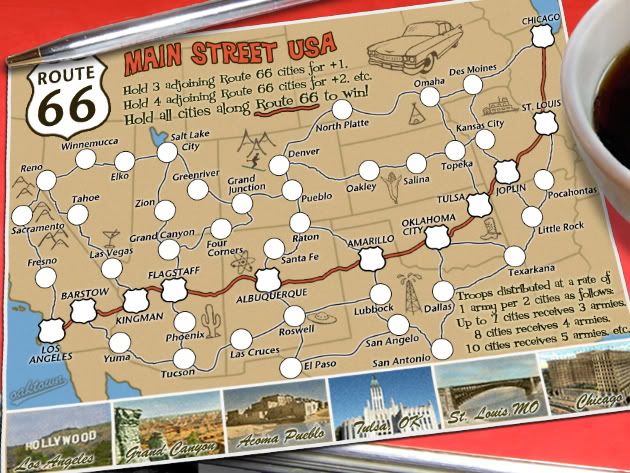