Re: Native America.. UPDATE 04/23
maybe behind the parchment put a table top or something, (just a thought)
Conquer Club, a free online multiplayer variation of a popular world domination board game.
https://www.conquerclub.com/forum/
https://www.conquerclub.com/forum/viewtopic.php?f=358&t=79670
LED ZEPPELINER wrote:maybe behind the parchment put a table top or something, (just a thought)
Danyael wrote:LED ZEPPELINER wrote:maybe behind the parchment put a table top or something, (just a thought)
or you could make the white transparent and save as .png i think that would be neat
Tisha wrote:Danyael wrote:LED ZEPPELINER wrote:maybe behind the parchment put a table top or something, (just a thought)
or you could make the white transparent and save as .png i think that would be neat
i actually do want it clear.. but png kinda looks like crap..any idea why?
Danyael wrote:Tisha wrote:Danyael wrote:LED ZEPPELINER wrote:maybe behind the parchment put a table top or something, (just a thought)
or you could make the white transparent and save as .png i think that would be neat
i actually do want it clear.. but png kinda looks like crap..
did you save it as interlaced?
what program you using cs3?
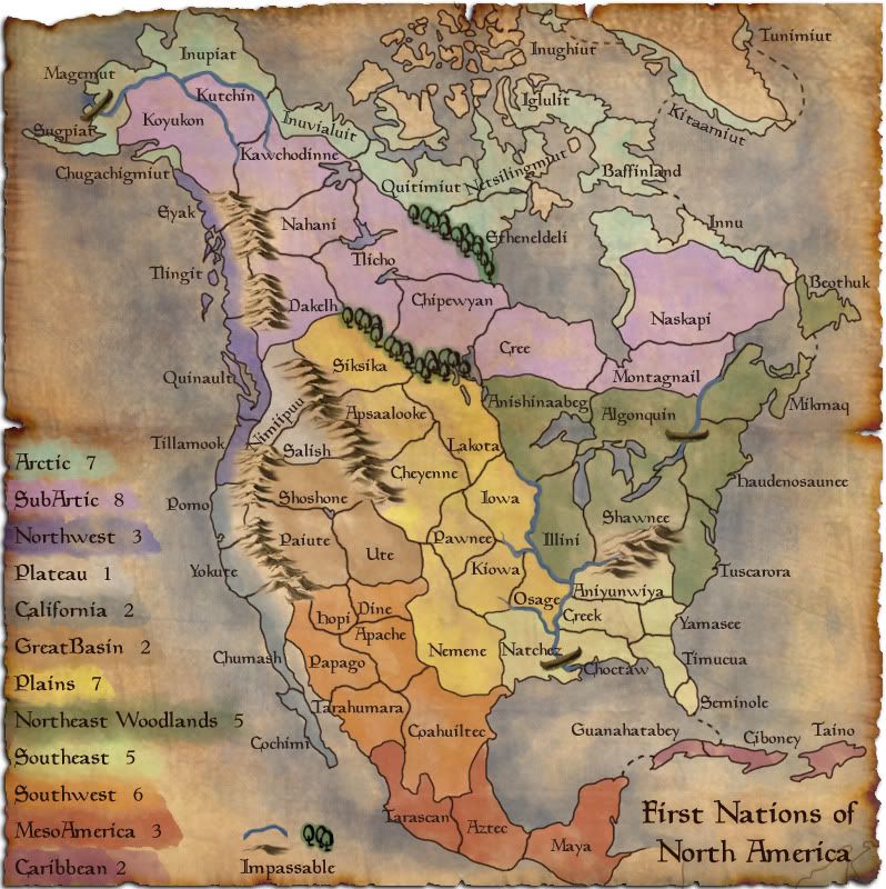
- the mini map added.. but something doesn't seem right with it..
-more canoes
Tisha wrote:Danyael wrote:Tisha wrote:Danyael wrote:LED ZEPPELINER wrote:maybe behind the parchment put a table top or something, (just a thought)
or you could make the white transparent and save as .png i think that would be neat
i actually do want it clear.. but png kinda looks like crap..
did you save it as interlaced?
what program you using cs3?
yes cs3.. but i don't know what interlaced even means.. i just click sure.

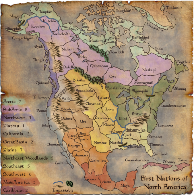
alexandrois wrote:Hey could you put names in the oceans.
The words and numbers should be in an older looking type
Could you put hawaii in?
oaktown wrote:alexandrois wrote:Hey could you put names in the oceans.
The words and numbers should be in an older looking type
Could you put hawaii in?
re. names of oceans: you mean the names attributed by the Europeans? That wouldn't make sense.
re. font: this one is fine, but you could play around with it.
re. hawaii: I'm not sure the polynesians had much contact with north america - certainly not enough to be waging war across the pacific (or whatever they called that ocean).
alexandrois wrote:HAHAHAaaa good point, but didn't the natice indians have names for the oceans?
pamoa wrote:very nice map
i didn't read all the thread (at all)
but here are some of my comments
if saying river is impassable then you have to add mountains
does the groups of tribes have any "global" name, it should be added to minimap
nimiipuu / salish bonus should be lowered to +1, it's only 2 territories
it would be better if you find a way to put the few diagonal names in horizontal
good work keep going on
ustus wrote:pamoa wrote:very nice map
i didn't read all the thread (at all
but here are some of my comments
if saying river is impassable then you have to add mountains
does the groups of tribes have any "global" name, it should be added to minimap
nimiipuu / salish bonus should be lowered to +1, it's only 2 territories
it would be better if you find a way to put the few diagonal names in horizontal
good work keep going on
i think sometimes people say some very funny things because they don't read the thread, but when a bunch of ppl don't it gets annoying. You, my apologetic poster, have successfully made an intelligent post without reading the thread. Well done. Here is my response to your comments (and i could be wrong, feel free to tell me if i am):
i thought there were mountains (see calif. area)
i'm not sure what you mean by a global name, could you please elaborate? (though if Tisha understands, then this isn't necessary, sorry)
and if both of those terits can be attacked from outside the bonus area, then i would hope i'd get enough reinforcements to put one on each border, or at least something close! i wouldn't want to hold a bonus area that didn't give me the resources i need to defend it!! (though, personally i always advocate bonus areas that are easy to hold with decently high bonus armies, maybe it's just my play style.
and yeah, i agree, it's great work, keep it up!