lanyards wrote:And what are the requirements to get a thread moved to Advance Idea sicky place?
--lanyards
slow down tiger. Just keep updating and progressing with the map and it'll happen in time. Everyone wants to get there so putting things in the title like 'time to move?' , 'needs sticky' , are obnoxious and don't help. If you've been at it for a while with a few updates and interest and you haven't been stickied then PM the ideas CA (gimil?) and he'll tell you what you need to do or will sticky it if you're good.
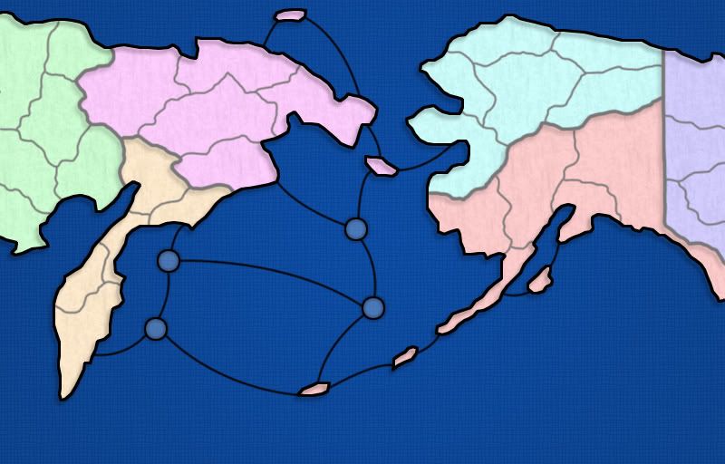
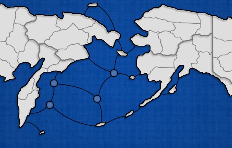
It is 'bad' that you've made up the borders. You should at least try to make it based on reality.
here's an Alaska Counties map you can use as a starting point.
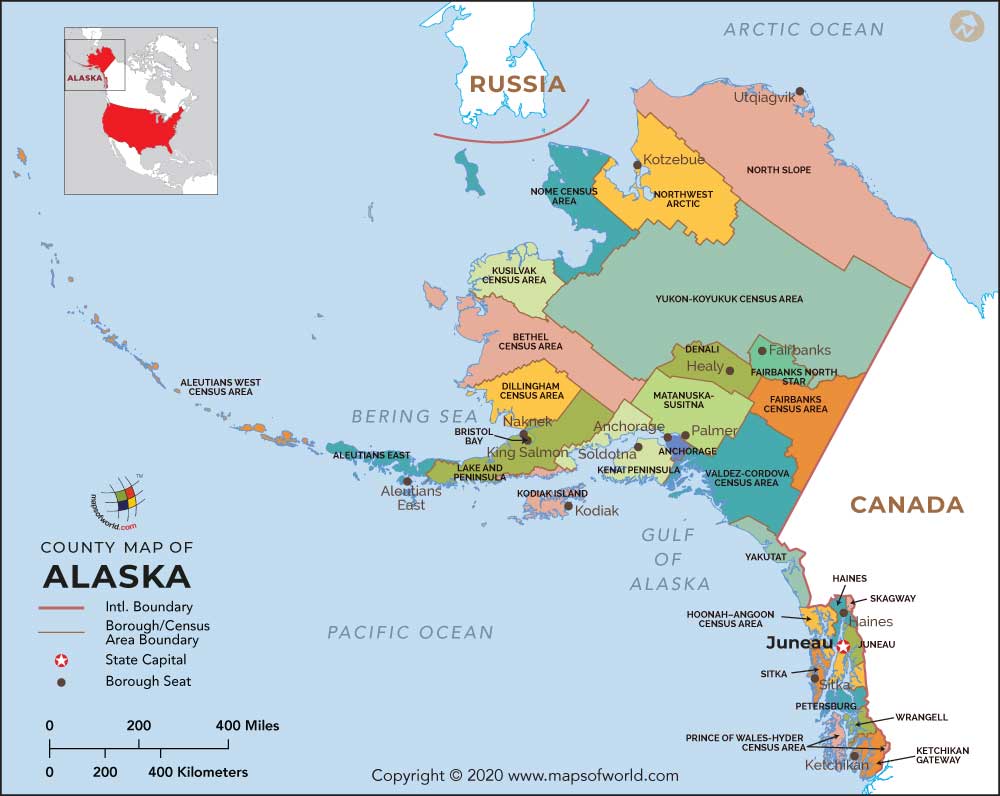
Obviously, some are too big and some are too small. Combine a few where necessary and split some up where necessary. (North / South Bristol Bay or West/East Bethel)
Here's a 'regions' map you can use to split Alaska in two for your continents.

notice how the northern two sections match up with the county lines. Seems like a good idea to me.
I don't want you to just do what I've said here about the Alaskan Borders and counties. I want you to do some research and look at Alaska and Russia maps to find out good ways to split it up based on reality. Obviously, you're making a CC map so gameplay is important but take reality as a start and work outwards from there.
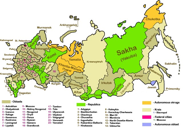
Wikipedia is a good tool and you can learn stuff quickly. Go to the Alaska and Russia pages. Note this map I found.
Seems like those northeastern three sections will be on your map (and it looks like you might've already split them up that way). I'll bet you can find pages about those three areas and possibly maps that show how those are split up.
Good luck.