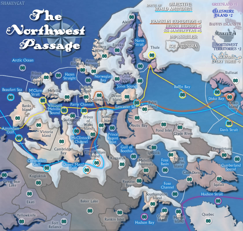
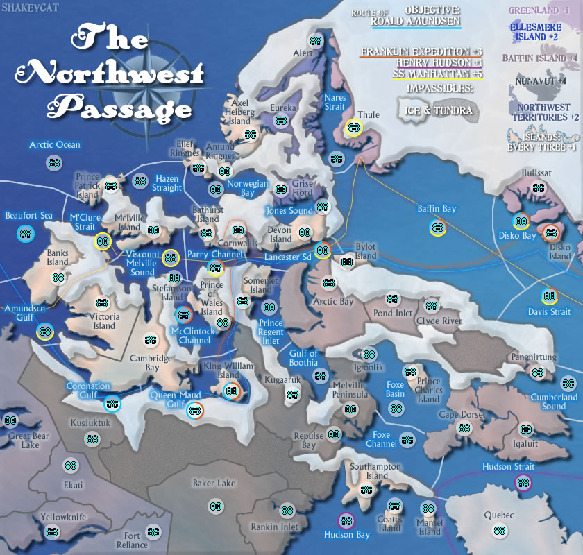
Lzrman - No, the lines have nothing to do with actual accessibility.
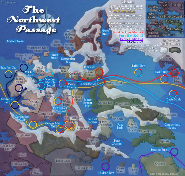
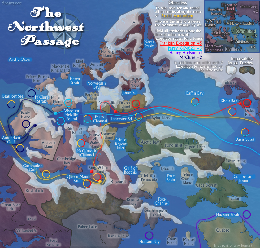
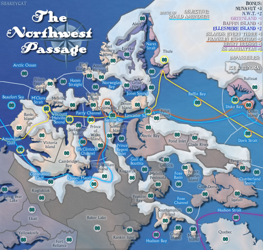
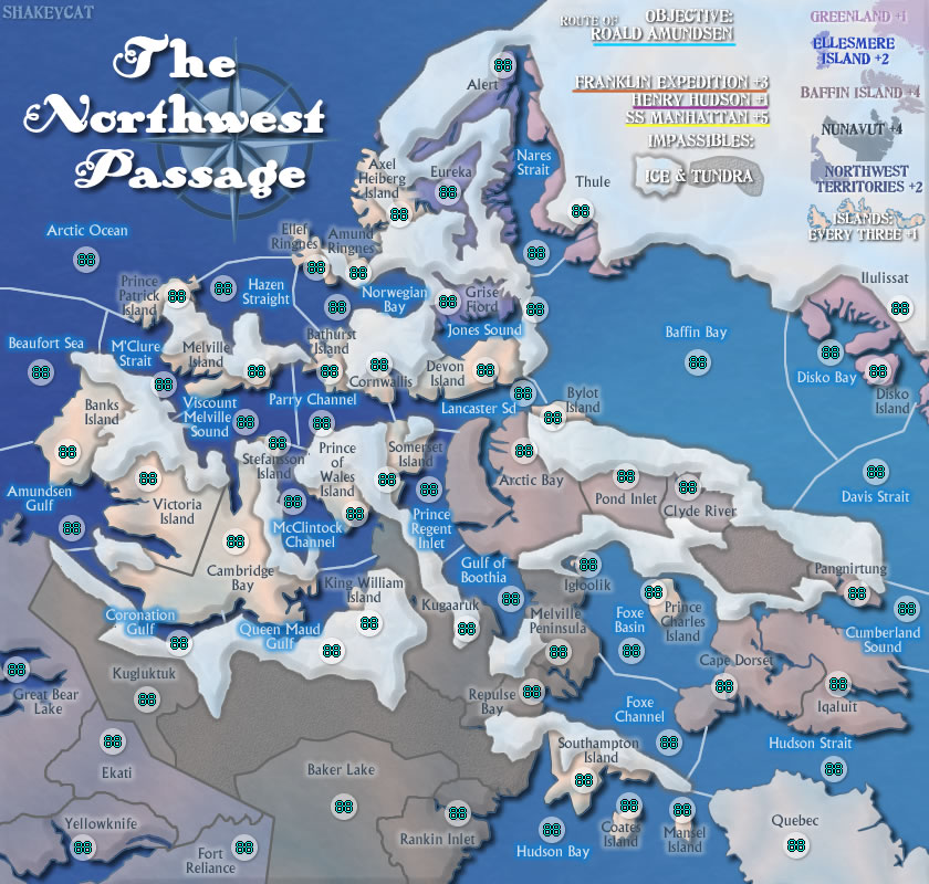
Natty, I'll have to experiment with this. I liked the transparent because you don't lose the lay of the land. I didn't start out with any ice, but after mapping all the territories, I found that some had ridiculous borders (see link below). Besides, it is realistic that many water routes would be blocked off in winter. What is still unrealistic with the 'ice' is that it blocks off land routes.
Incandenza, Franklin Expedition was actually the inspiration. I'd like to have that one in here!
Coleman, broken and cracked was the initial idea, since it would be most dangerous to cross. More white, right, since that's what it IS after all. And yeah, the water territories in Alexander's Empire freak me out a bit. One of them has 11 borders. I carefully drew the 'ice' to cut off these crazy borders. My most-connected territory is Arctic Ocean at 7.
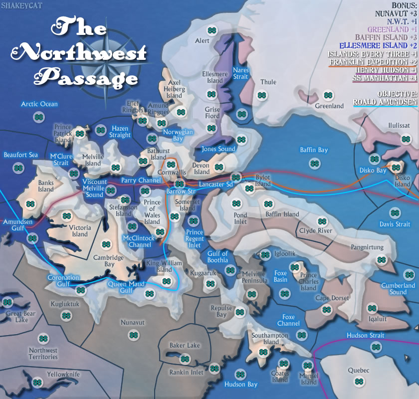
The earliest version I have online is here:
http://www.atomation.com/~thazzard/fun/ ... ass113.jpg
It isn't much different, but I had to figure out how to solve all the territories that had too many borders. Baffin Bay had 13, Norwegian Bay 11, Foxe Basin 12. And then many islands have only 1 or 2 borders. If the map was made without water, it would be a massive web of improbable bridges.
Andy, it multiplied as I added places with actual populations and tried to eliminate extra borders. I understand the point though. It would start with 7 armies each in a 2 person game, and take time to sweep the other guy completely.
With completely opaque ice, for the curious:
- Click image to enlarge.
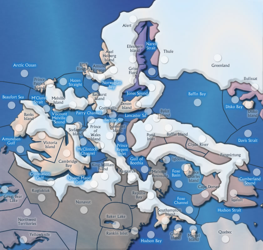
Some of the oddness can be avoided by simply moving the ice's borders to give a clearer piece jutting out.


