Hi,
Back with some other small changes...
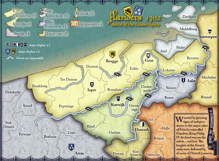
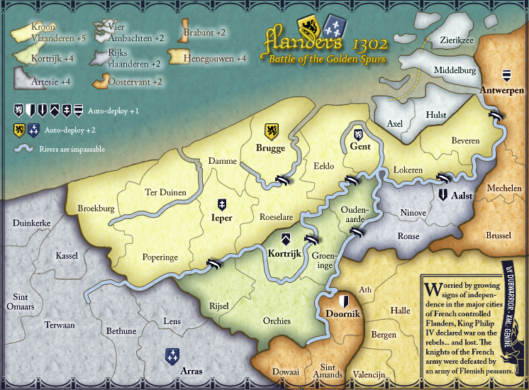
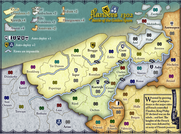
I enlarged the text for in the legend, because it was too small in the small mapsize. I moved the antwerpen-border to left and moved some names. I turned the bridge near antwerp.
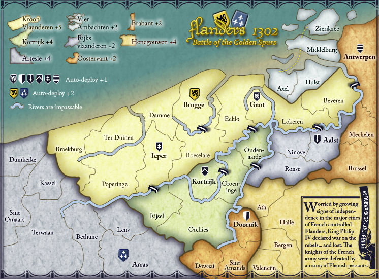
Since I noticed we graphicaly discussed everything (colors, border, legend, sea, rivers, shields...) I would like to start with closing the graphic discussion.
@CaptainWalrus: we already discussed the ends of the rivers, but I tried to make them taper off.
this is the result:

Personaly, I don't like them this way...they look more like a worm to me

they also make things look more complicated. I think the map offers enough other details to sketch some realistic or historical background. So I'm not realy in need of more complicated options. well, I guess.
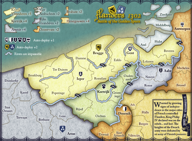
I started working on the XML, with the XML wizard. It was great, so I saved the XML, and posted it in front of the topic.
Does someone knows how I can link the imagefile and the XMLfile to eachother so you see the map with the numbers actualy ON it in the post?
cheers!