The Bering Land Bridge By: Vace Cooper
Moderator: Cartographers
6 posts
• Page 1 of 1
The Bering Land Bridge By: Vace Cooper
![]() by Vace Cooper on Thu Dec 13, 2007 12:17 am
by Vace Cooper on Thu Dec 13, 2007 12:17 am
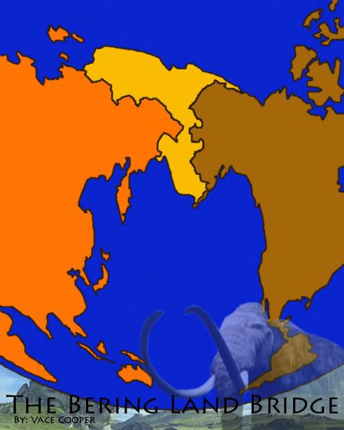
I just started working on this map a couple days ago... do you guys think its a good idea? I'll post another update with Territories soon.

owen is a sexy mother f***er
-

 Vace Cooper
- Posts: 537
- Joined: Wed Feb 14, 2007 12:12 pm
- Location: MN


![]() by cairnswk on Fri Dec 14, 2007 6:49 pm
by cairnswk on Fri Dec 14, 2007 6:49 pm
Vace...gonna give you my honest opinion here....hope i don't offend.
I think the region would make a great map if you zoomed in quite a bit and used the islands etc up close.
As it stands, no i don't think its a good idea, unless you have some xtra zxtra special gameplay ideas.
Perhaps this area for instance could be great.
http://maps.google.com.au/maps?f=q&hl=e ... p&z=4&om=1

* Pearl Harbour * Waterloo * Forbidden City * Jamaica * Pot Mosbi
-

cairnswk
- Posts: 11510
- Joined: Sat Feb 03, 2007 8:32 pm
- Location: Australia


![]() by pepperonibread on Fri Dec 14, 2007 7:57 pm
by pepperonibread on Fri Dec 14, 2007 7:57 pm
cairnswk wrote:Vace...gonna give you my honest opinion here....hope i don't offend.
I think the region would make a great map if you zoomed in quite a bit and used the islands etc up close.
As it stands, no i don't think its a good idea, unless you have some xtra zxtra special gameplay ideas.
Perhaps this area for instance could be great.
http://maps.google.com.au/maps?f=q&hl=e ... p&z=4&om=1
I agree... except about the xtra zxtra gameplay. I've never liked gimmicky maps, though, so I'm kind of biased.
I've been thinking about doing this for a while, although I went with using islands around the strait instead of the landbridge. Showing the curvature of the earth is a good idea, though it shouldn't be too extreme (Great Lakes is a great example).
One more thought: Maybe there could be big bonuses for the North American and Asia sections, and subcontinents inside these.

-

pepperonibread
- Posts: 954
- Joined: Sun Jan 28, 2007 4:33 pm
- Location: The Former Confederacy


![]() by duday53 on Fri Dec 14, 2007 8:01 pm
by duday53 on Fri Dec 14, 2007 8:01 pm
pepperonibread wrote:cairnswk wrote:Vace...gonna give you my honest opinion here....hope i don't offend.
I think the region would make a great map if you zoomed in quite a bit and used the islands etc up close.
As it stands, no i don't think its a good idea, unless you have some xtra zxtra special gameplay ideas.
Perhaps this area for instance could be great.
http://maps.google.com.au/maps?f=q&hl=e ... p&z=4&om=1
I agree... except about the xtra zxtra gameplay. I've never liked gimmicky maps, though, so I'm kind of biased.
I've been thinking about doing this for a while, although I went with using islands around the strait instead of the landbridge. Showing the curvature of the earth is a good idea, though it shouldn't be too extreme (Great Lakes is a great example).
One more thought: Maybe there could be big bonuses for the North American and Asia sections, and subcontinents inside these.
Good Idea.
-

duday53
- Posts: 3046
- Joined: Thu Mar 08, 2007 6:57 pm
- Location: 1 hour north of Toronto, Ontario.


6 posts
• Page 1 of 1
Return to Melting Pot: Map Ideas
Who is online
Users browsing this forum: No registered users
|
|||||||
| Conquer Club is not associated with RISK online in any way. Copyright © 2006-2025 by Big Wham LLC | |||||||