
- Click image to enlarge.
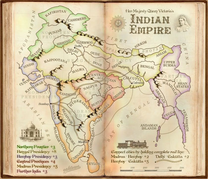
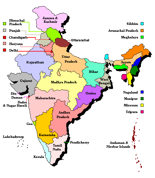
42 territories.
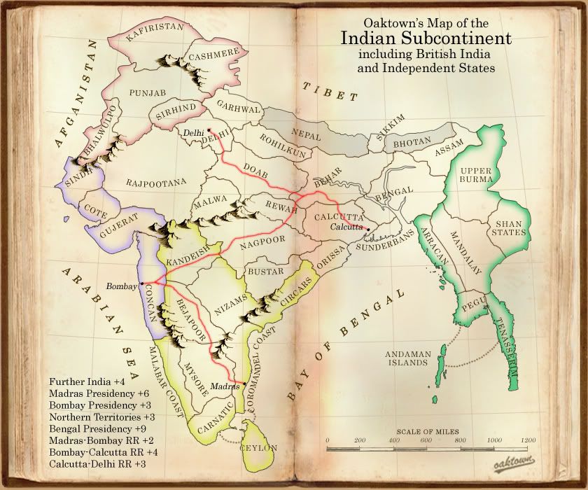
Six traditional bonus regions, plus three sub bonuses for holding rail line between cities... the two southern lines cross multiple regions, and the Calcutta-Delhi line runs through the heart of a huge region that will be all but impossible to hold - thus the mini-bonuses to encourage activity in the center.
Nepal and Bhotan are NOT in play - there was discussion about having them as non-region territories, but that was a bad idea on my part.
Background:
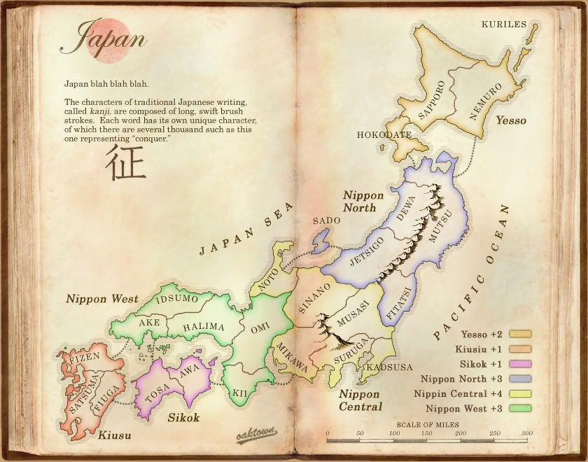
With the Brazil revamp competition over, I wanted to recycle the look of my Brazil entry. My first idea was to try Japan (clicky), and I do believe that a japan map can work if the mapmaker were less ambitious about squeezing in territories than in the past attempts. But ultimately I don't feel that Japan is the right map for this background, so I've secured InkLosed's permission to pick up where he left off on the Indian Subcontinent map. This isn't a redux of InkLosed's map, but since he was the last to work on this I thought it would be polite to ask.
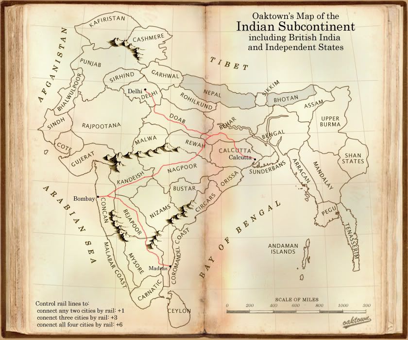
India has been attempted at least five times that I can find, but has proved as elusive catch. I'm not basing this map on any of the previous attempts, but I have looked over them to try to avoid the problems faced by the other mapmakers. I'm setting this in the 19th century, about 1870ish, after the British had brought the country under British rule and put down the mid-century rebellions. Territory and region names conform to 19th century conventions - yes, some spellings are funny, and Calcutta isn't Calcutta anymore, but as far as I can tell the names are historically accurate.
The past efforts are as follows, with links to the old threads:
InkLosed's Indian Subcontinent map. clicky
Reverand Kyles's India. clicky
Contrickster's Jewell of the Empire. clicky
ConformOrDie's Indian Presidencies. clicky
Gavin's Indian Subcontinent. clicky


